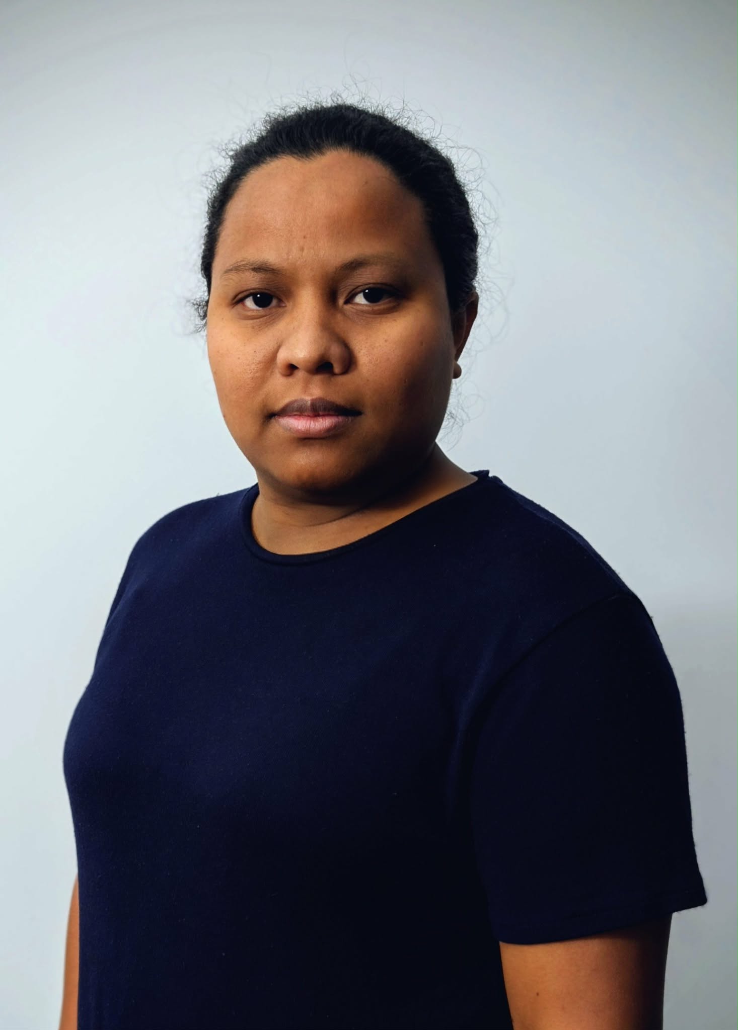
Ravakiniaina Randrianatoandro
Biography
Ravakiniaina Randrianatoandro is a geomatics project manager at INNOV. She holds a master’s degree in geography specializing in environment and land use planning, as well as a master’s degree in applied geomatics and remote sensing. Her profile combines a solid academic background with advanced technical expertise in spatial analysis and geographic information systems (GIS).
She designs and develops cartographic products tailored to user needs, ranging from thematic and synthetic maps to customized and complex geospatial solutions. Her work includes the creation of interactive online maps, the design of dynamic dashboards, and the development of decision-making tools based on geospatial data.
At INNOV, its expertise in geomatics is applied to many fields, including agriculture, forestry, integrated water resource management, geology, natural resource management, geohazard assessment, and environmental protection. She thus contributes to supporting applied research and innovation projects through rigorous spatial analyses and decision-making tools tailored to territorial issues.
Specific areas of expertise
- Geomatics and geographic information systems (GIS)
- Remote sensing and spatial analysis
- Cartographic product design
- Development of QGIS plugins
- Interactive mapping and dashboards
- Geospatial decision support tools
Major projects
- Development of customized geospatial solutions
- Design of interactive maps and dashboards
- Territorial analysis projects in the environment and natural resources
Email: ravakiniaina.randrianatoandro@ccnb.ca
Ravakiniaina Randrianatoandro
Biographie
Ravakiniaina Randrianatoandro est chargée de projet en géomatique chez INNOV. Elle détient un master en géographie spécialisé en environnement et aménagement du territoire, ainsi qu’une maîtrise en géomatique appliquée et en télédétection. Son profil combine une solide formation académique et une expertise technique avancée en analyse spatiale et en systèmes d’information géographique (SIG).
Elle conçoit et développe des produits cartographiques adaptés aux besoins des utilisatrices et utilisateurs, allant de cartes thématiques et synthétiques à des solutions géospatiales personnalisées et complexes. Son travail inclut la création de cartes interactives en ligne, la conception de tableaux de bord dynamiques et le développement d’outils d’aide à la décision appuyés sur des données géospatiales.
Au sein d’INNOV, son expertise en géomatique s’applique à de nombreux domaines, notamment l’agriculture, la foresterie, la gestion intégrée des ressources en eau, la géologie, la gestion des ressources naturelles, l’évaluation des géorisques et la protection de l’environnement. Elle contribue ainsi à soutenir les projets de recherche appliquée et d’innovation par des analyses spatiales rigoureuses et des outils décisionnels adaptés aux enjeux territoriaux.
Expertises spécifiques
- Géomatique et systèmes d’information géographique (SIG)
- Télédétection et analyse spatiale
- Conception de produits cartographiques
- Développement de plugins QGIS
- Cartographie interactive et tableaux de bord
- Outils d’aide à la décision géospatiale
Projets majeurs
- Développement de solutions géospatiales personnalisées
- Conception de cartes interactives et de tableaux de bord
- Projets d’analyse territoriale en environnement et ressources naturelles
Email: ravakiniaina.randrianatoandro@ccnb.ca